Map and geospatial chart formatting options in Quick
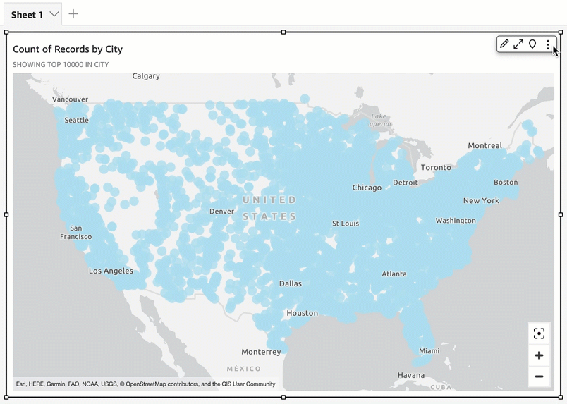
In Amazon Quick, you can choose from multiple formatting options for your maps and geospatial charts. You can view formatting options by opening the Properties pane from the on-visual menu located at the top right of the currently selected geospatial map.
Quick authors and readers can also toggle the different formatting options of a geospatial map visual from the on visual menu.